


Discover Athens through water
Within the framework of Work Package 6 (WP6 – The Athens Water School), Dipylon Society designs and implements action D 6.2.3 – Workshops & Tours. Under the title “Discover Athens through water”, Dipylon, in collaboration with Impact Hub Athens, conducted four educational city tours during the months of May and June, in the areas of Metaxourgeio, Exarcheia, Ano Patisia, and Ampelokipoi
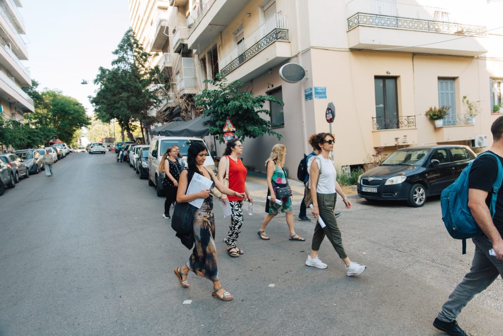
The aim of the tours is to highlight the history of water in the neighborhoods of Athens. Utilizing the archaeological and historical research of the topography of Athenian neighborhoods, historical maps, maps and other documents from EYDAP and the Municipality of Athens, as well as the archive of recorded oral testimonies of old residents of Athens from the Athens Oral History Group, the action seeks to bring citizens into contact with the memory of water, while simultaneously cultivating their environmental awareness.
● Metaxourgeio: The Metaxourgeio tour followed the traces of the historic Kykloboros stream. The starting point was Metaxourgeio Square, an area that in antiquity was located outside the city walls and had a strong agricultural character due to its proximity to the Elaionas (Olive Grove). At the intersection of Plataion and Zografou Streets, the participants were informed about the ancient road that led to Plato’s Academy and the small stone bridges that facilitated crossing over the stream. Passing by the historic Elaiotriveion Square, the group continued to follow the now underground Kykloboros. Particular emphasis was placed on the sanitation efforts of the 19th and 20th centuries, when the stagnant waters caused the creation of the “Minotaur” marsh. The tour continued towards Agiou Georgiou Square, a local spot rich with memories and narratives from the past, and concluded at Ramnes Square, passing by the archaeological remains of the Roman hydraulic structures on Lenorman Street.
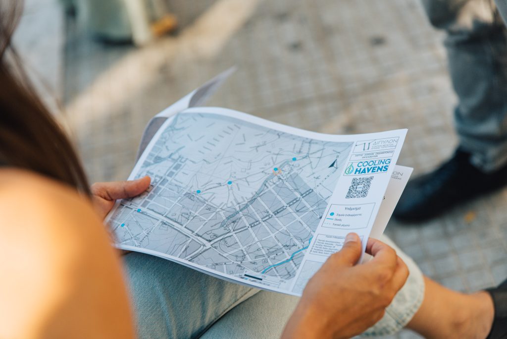
● Ano Patisia: With the Ano Patisia ISAP station (Alysida station) as the starting point, the tour highlighted the historical character of the area as a popular countryside destination for Athenian society during the 19th century. Following in the footsteps of the excursionists of that era, who disembarked in the Alysida area, and with the help of historical maps, the group followed the paths leading to the Podoniftis River. At the riverbed, a stop was made at the bridge, accompanied by a presentation of its historical photographic depictions. Reference was made to the streams of the area, such as the Xeropotamos of Lamprini, and to the history of the old bridges. During the tour, the ancient Acharnian Aqueduct was also discussed, a major hydraulic project of the 4th century BC that transported water from Mount Parnitha, demonstrating the early efforts to supply the city with water.
● Exarcheia: The Exarcheia tour focused on the unknown small streams of Hill Lycabettus. The starting point was the National Archaeological Museum, the convergence point of the historic Kykloboros stream with the local streams of Lycabettus. Via Stournari Street, the route followed the course of the local streams that are today located beneath the streets and buildings. The early management works of the 19th century were examined, as well as the devastating consequences of extreme rainfall, such as the notorious downpour of 1896 (Night of Saint Philip). The route continued through Exarcheia Square, flanking Strefi Hill (formerly the Pinakota quarry), and ascended towards the starting points of the streams, ending in Neapoli, at the historic church of Agios Nikolaos Pefkakion.
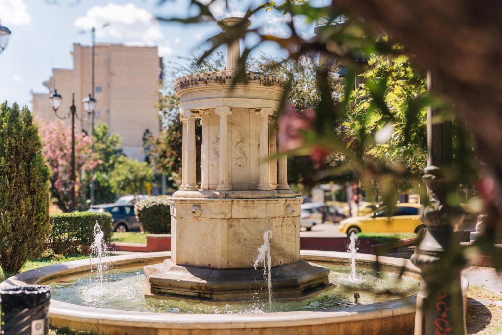
● Ampelokipoi: The Ampelokipoi tour mapped both the natural and artificial waterways in the area. It started from the Panormou Metro station, at the point where the natural streams descending from Tourkovounia meet the historic Hadrianic Aqueduct of the Roman era, which brought water from Mount Parnitha. Subsequently, the route followed the course of the Hadrianic Aqueduct along Louizis Riankour Street, identifying points of interest, such as the entrance “wells” of the tunnel of the Roman aqueduct, as well as interventions and modifications of the aqueduct during the Ottoman and Modern eras. At Agiou Dimitriou Square, a place where the ancient history of the Roman aqueduct meets modern history, an extensive reference was made to the reintegration of the Hadrianic Aqueduct into the capital’s water supply network in the 19th and 20th centuries. The tour concluded at the Byzantine church of Agioi Pantes, at the site where the ancient sanctuary of Aphrodite is presumed to have operated, underlining the timeless practical and religious value of running water. Finally, it was noted how the water element maintained a mild but substantial presence in the area, remaining intact until quite recently.
We renew our appointment for the Autumn, to continue exploring the historical water routes in the neighborhoods of Athens together!